← All industries
Use case
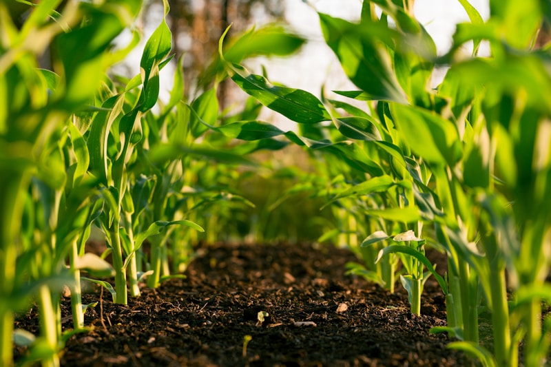
Drone and field imagery for precision farming models
Agri-tech teams use aerial and ground imagery to detect crop stress, weeds, and yield patterns. We label at scale across seasons, geographies, and sensor types.
Industry challenges
- !Seasonal variation and lighting in outdoor imagery
- !Small object detection for weeds and pests
- !Large orthomosaic tiles needing tiled annotation
How we help
- Polygon masks for crop boundaries and stress zones
- Drone frame object detection pipelines
- Guidelines tuned per crop type and region
Annotation types
PolygonsBounding boxesSemantic segmentation
Agriculture AI data annotation services
Precision agriculture AI uses drone, satellite, and ground imagery to detect crop stress, weeds, and yield patterns. Outdoor variability makes human labeling essential for reliable field deployment.
We annotate at tile scale for orthomosaics and frame scale for drone video — with taxonomies tuned to crop type, region, and season.
Key benefits
- ✓Crop and weed polygon masks
- ✓Drone frame object detection
- ✓Multi-season guideline libraries
Best practices for agriculture ai labeling
- Capture metadata for season and sensor type
- QA across lighting and soil conditions
Frequently asked questions
- What agriculture imagery can you label?
- RGB drone frames, multispectral tiles, and ground-based field photos for crop and weed detection models.
- Do you support large orthomosaic tiles?
- Yes. We tile and annotate large maps with consistent class definitions across regions.